INQUA 2304 my: Landuse-landcover mapping and modelling using pollen and isotopic data (LEM)
The LEM project, led by Trina Bose from Birbal Sahni Institute of Paleosciences, India, aims to map and model LULC indicators in different ecological regions of the monsoon to quantify modern analogues of climate variations. An associated aim is to integrate all published modern and palaeobiodiversity data into the South Asian Biodiversity Portal (SABDP) following the NEOTOMA palaeoecology database.
Abstract
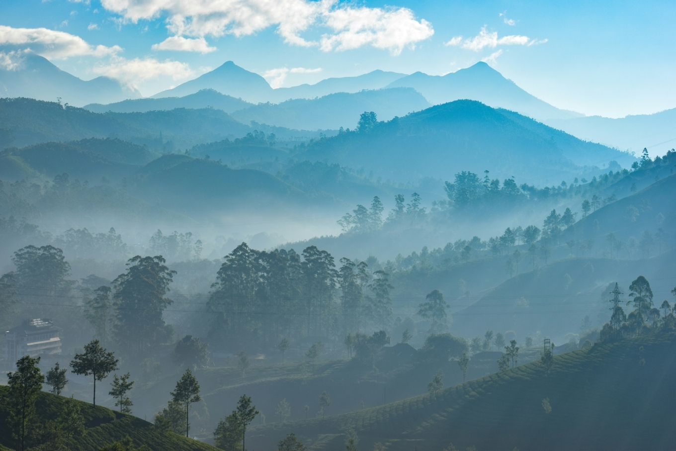
The LEM project aims to produce modern distributions of Relative pollen productivities (RPPs), flora and tree ring samples, along with isotopic data of these samples, together with biotic and isotopic data from short sediment cores from various ecological regions in Indian summer monsoon (ISM) zones of the subcontinent with varied forest types.
Tree ring samples are also collected in these regions to extend paleo calibration periods further back in time, beyond the instrumental observations. Tree ring oxygen isotope datasets can reconstruct temperature and soil moisture with annual resolution. Any wood samples or cellulose extracted from the sediment samples can be analysed in the same way to be directly comparable to the tree ring isotope information.
The fieldwork includes LULC mapping for the Landcover Reconstruction Algorithm (LRA) via modifications of methods described in Sugita et al., 2010; Mazier et al., 2015; Marquer et al., 2020, etc. in addition to tree ring, flowers, leaf, and root to compare with isotopic and biomarker information in the short sediment cores collected in a gridded pattern. This effort yields comprehensive, modern analogue data to calibrate all paleo data in the region quantitatively. Samples collected during LEM-2023 have been processed for isotopic, biomarker, and palynological studies, with measurements soon to follow.
Objectives:
- Map and model land-use-landcover indicators in different ecological regions of the monsoon to quantify analogues of the climate variations in the late Quaternary, to address the knowledge gaps prevalent in the monsoon biomes for differentiation of anthropogenic effects
- Integrate all published biodiversity data, both modern and palaeo, into the South Asian Biodiversity Portal(SABDP) following the NEOTOMA palaeoecology database.
Project leaders:
- Trina Bose, Birbal Sahni Institute of Paleosciences, India
- Navya Reghu, French Institute of Pondicherry, India
- Anjali Trivedi, Birbal Sahni Institute of Paleosciences, India