Holocene Global Landuse (HoLa) objectives
Why HoLa?
Adequate incorporation of land cover in global and regional climate models is still one of the major priorities in the climate modeling community. In particular, anthropogenic land cover change (ALCC) is still not successfully implemented in these models. As a result, climate models that try to take anthropogenic land cover into account, either to retrodict the past or predict the future are seriously hampered (Strandberg et al. 2014). The inability of climate models to cope with anthropogenic land cover is due to the fact that the dynamic vegetation models coupled to global climate models (GCMs) or regional climate models (RCMs) simulate climate-induced vegetation (potential natural vegetation) but cannot simulate anthropogenic vegetation or full-scale cultivation.
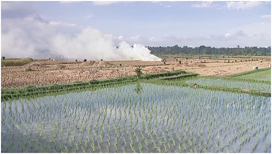
Thus, scenarios of past anthropogenic land cover change (Klein Goldewijk et al. 2011; Kaplan et al. 2009, as well as others), show large differences (Gaillard et al. 2010). The degree and form of long-term and especially pre-industrial human impact on climate is still a matter of debate, and the effects of anthropogenic burning, deforestation, farming, and other land use practices on global climate via biogeochemical and biogeophysical processes in the past are not yet fully understood. Such understanding is critical, however, for planning solutions and improve descriptions of past anthropogenic land cover change at both regional and global scales are therefore urgently needed.
Objectives
The key objectives of the Holocene Global Landuse IFG are:
- To build capacity, both through the continued development of an interdisciplinary research community linking scholars of human history with palaeoecologists and modelers, and through the establishment of new resources for data sharing and collaboration. While palaeoenvironmental data are increasingly being shared and archived (e.g. Neotoma), archaeological and historical data are rarely aggregated, and if so only on a regional scale (e.g. DINAA database), with comparison hampered by differences in data representation. A further issue HoLa is to approach the accessibility of “grey data” currently being held in unpublished reports.
- To develop data procedures and global database, formed through linked continental-scale databases and a bottom up approach to enable the collection of data from a wide network of collaborators. The dataset classifications and variables are designed in consultation with climate modelers to specifically address their concerns (evidence of burning, tillage, wood harvest, stock-raising, artificial wetlands etc.), though the databases will also have broader applications.
- To develop new INQUA-funded projects. This is already happening with the Mapping pre-Columbian land use in Amazonia (part one and part two) by U Lombardo and the South Asia pilot currently under development by A Bauer, K Morrison and M Madella.
- To support novel collaborations in which 1) ALCC modelers and others work to improve model parameters and assumption, and 2) which integrate historical land use data with land cover data, carbon cycles, methane levels, and other topics of interest.